Exploring Geo-Spatial Solutions to Support Market Research Projects
The Challenge
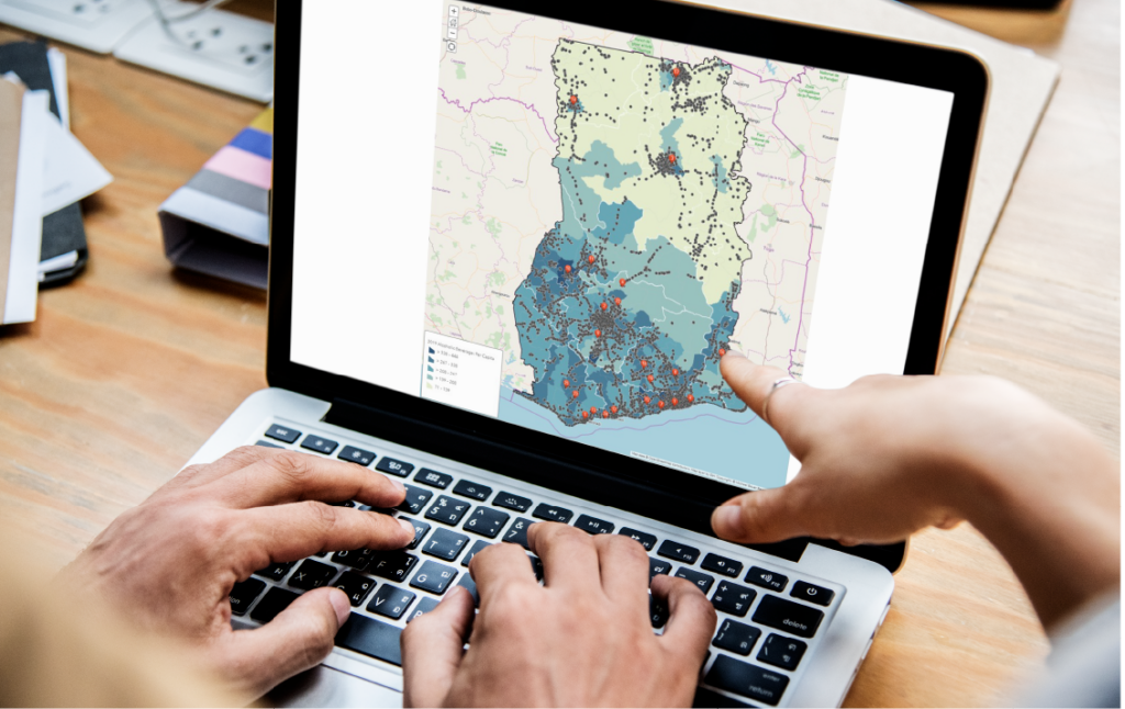
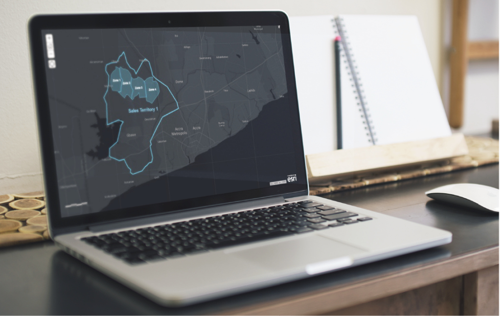
A leading market research agency in West Africa required geo-spatial capabilities for a field research project in Ghana. Since a large workforce was introduced throughout all 16 regions in Ghana- it became critical to manage the geographical deployment of the team.