Connecting Datasets to Geo-referenced Location Shapefiles
The Challenge
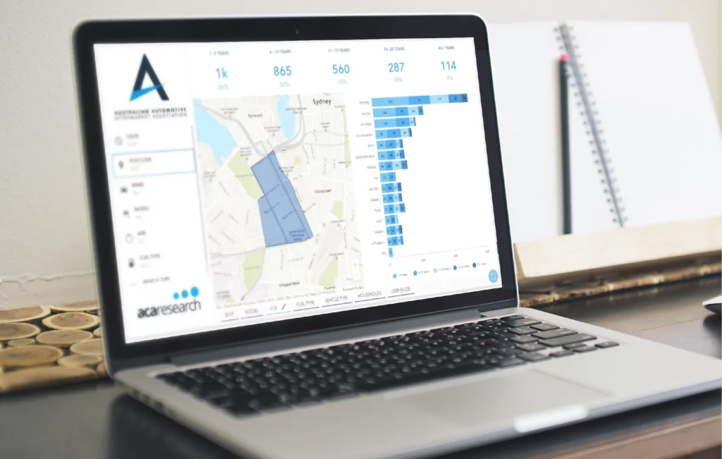
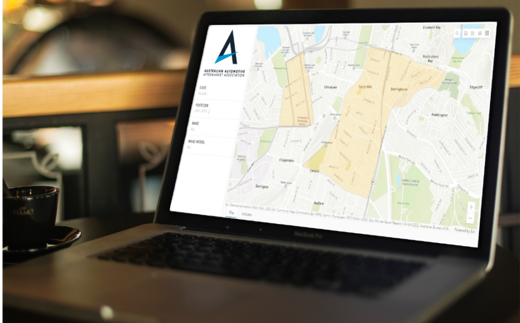
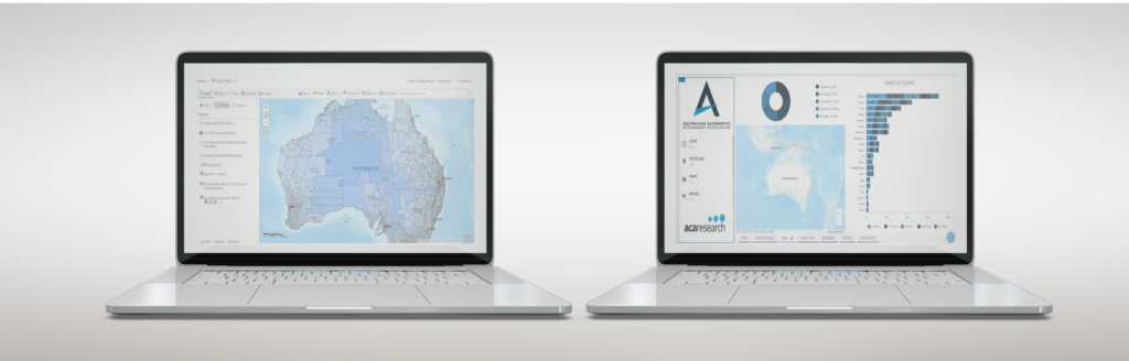
A boutique research agency sought to transform their clients excel-based datasets into a dynamic geospatial representation. Their objective were not only to enhance data visualization but also to empower the capability of refining displayed outcomes through intuitive filters. These filters were designed to seamlessly align with predefined shapefields, such as postcodes and city borders, granting the client a powerful toolset to dissect and analyze their data with precision and context.