

Unlocking Spatial Potential Today

The application and use of geographic information systems (GIS) is gaining traction, shaping the way organizations harness the potential of spatial data to drive innovation and optimize their operations.

This growing movement towards using geo-spatial technology across industries is a significant trend driven by advancements in technology, data availability, and the recognition of the value that spatial information brings to decision-making processes. 
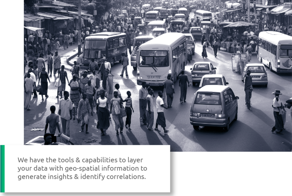
Reach out to us if you require:

Building & layering data on to maps

Building and layering data onto maps is a process that transforms raw information into visually comprehensible representations. By overlaying data onto maps, businesses and organizations can gain valuable insights, identify patterns, and make informed decisions based on the spatial context of their data.

Applying mapping & GIS toolsets for spatial analysis

Applying mapping and GIS toolsets for spatial analysis empowers organizations to explore geographic patterns, uncover hidden trends, and make data-driven decisions. These versatile tools enable users to perform complex spatial analyses, such as proximity analysis, density mapping, and route optimization, enhancing their understanding of geographical data and its impact on various processes and strategies.

Creating spatial data integrations & analysis

Creating spatial data integrations and conducting analysis is a crucial step in extracting valuable insights from geographic information. It involves merging diverse data sources, such as satellite imagery, demographic data, and sensor readings, to gain a holistic view of spatial relationships and drive informed decision-making across various fields, from urban planning to environmental monitoring.

Building & layering data on to maps

Building and layering data onto maps is a process that transforms raw information into visually comprehensible representations. By overlaying data onto maps, businesses and organizations can gain valuable insights, identify patterns, and make informed decisions based on the spatial context of their data.

Contact

If you would like us to call you back.