Mapping Key Sites for a Mining Resettlement Plan 

The Challenge

In the context of applying for a new mining license, a significant challenge emerges: the necessity to create an all-encompassing resettlement strategy. This includes consideration of critical locations such as current residential areas, community infrastructure and cultural heritage sites.

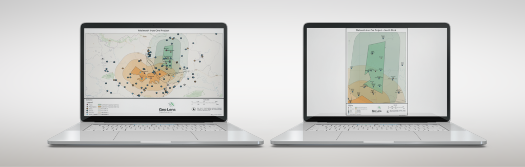
In collaboration with a resettlement agency, these sited had to be mapped and represented on easy to digest digital maps.

The Solution

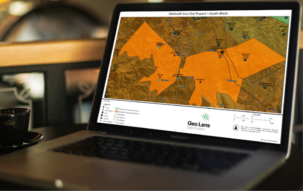
  • With the assistance of GIS toolsets, all critical and relevant locations were mapped.
  • Borders and buffer zones to the mining lease area were mapped to provide proximity indicators to surrounding communities.

The mining company can ensure a well-informed and strategic approach to the resettlement process fostering transparent communication with local communities, government agencies, and other stakeholders. Through the systematic identification and mapping of these key sites, mining companies can establish a resettlement plan that not only minimizes disruption to the lives of affected communities but also promotes sustainable development and harmonious coexistence between the mining operation and the surrounding environment.

Contact

If you would like us to call you back.